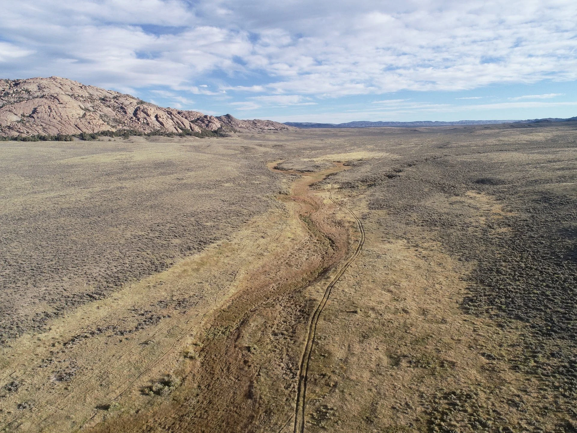
Exchange Resource Survey Summary
Based on the Grouse Mountain Environmental Consultants Land Value and Resources Survey (May 26, 2026), the Grouse Mountain Environmental Consultants Cultural Resource Overview (May 16, 2026), and the Church History Department Addendum (May 21, 2026).
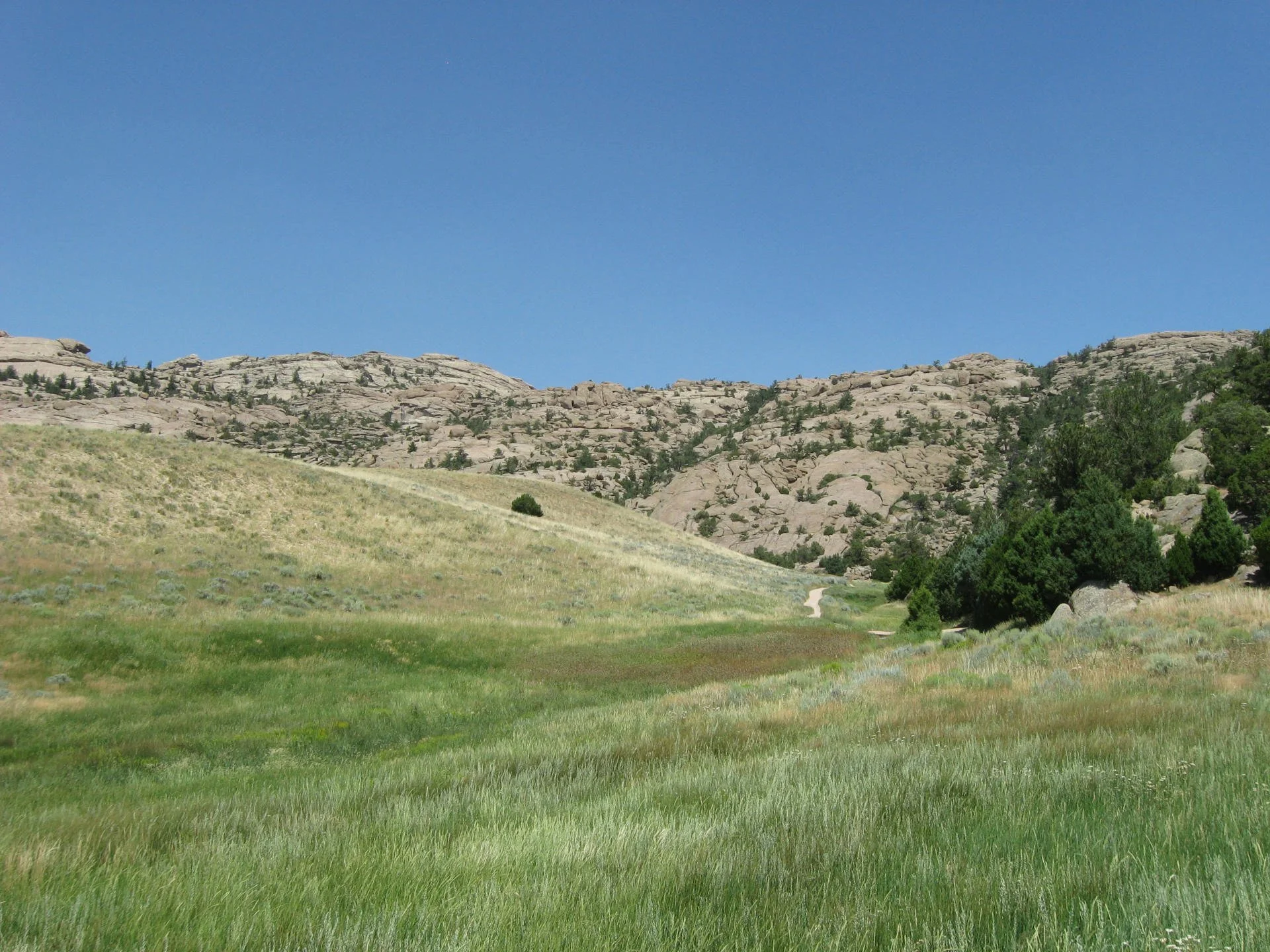
The lands entering public domain concentrate the highest-value ecological and trail resources in the project area — river frontage, wetlands, crucial big-game range, five contributing segments of National Historic Trails, and a private inholding between two Wilderness Study Areas — while the Martin’s Cove parcel consolidates a historically and culturally significant area with the steward most directly invested in its care while continuing to welcome public visitorship to Martin’s Cove.
On a like-for-like acreage basis, the survey confirms the exchange represents a net gain to the public for wildlife, wildlife habitat, water resources, aquatic species, public access, landscape scale connectivity, and the protection of physically documented emigrant-trail cultural resources.
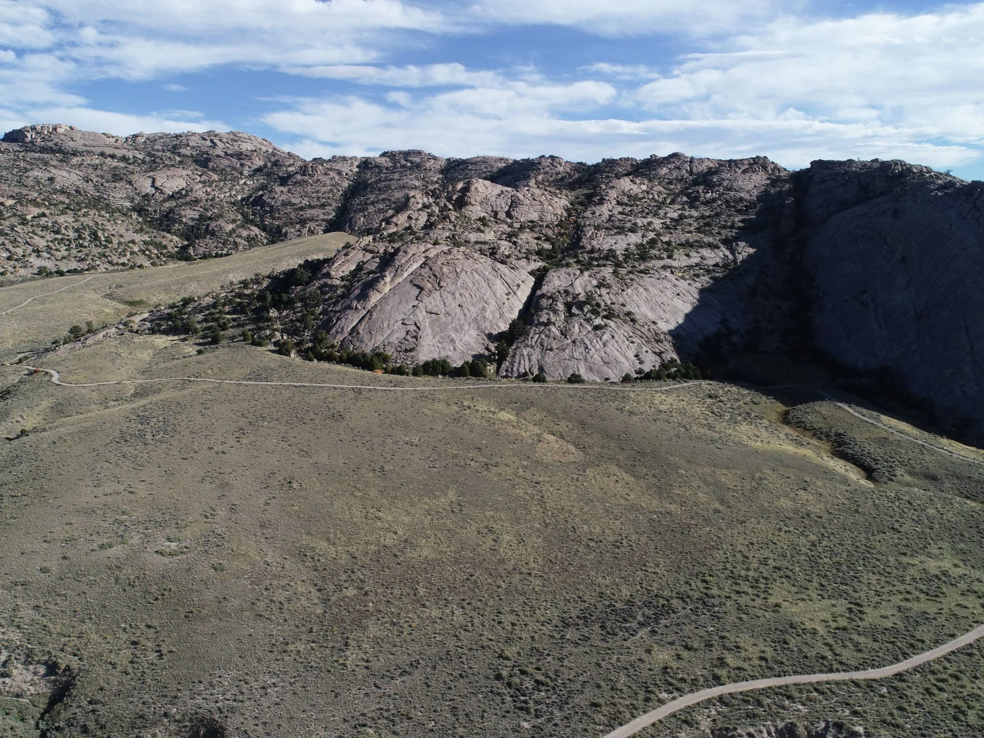
Martin’s Cove
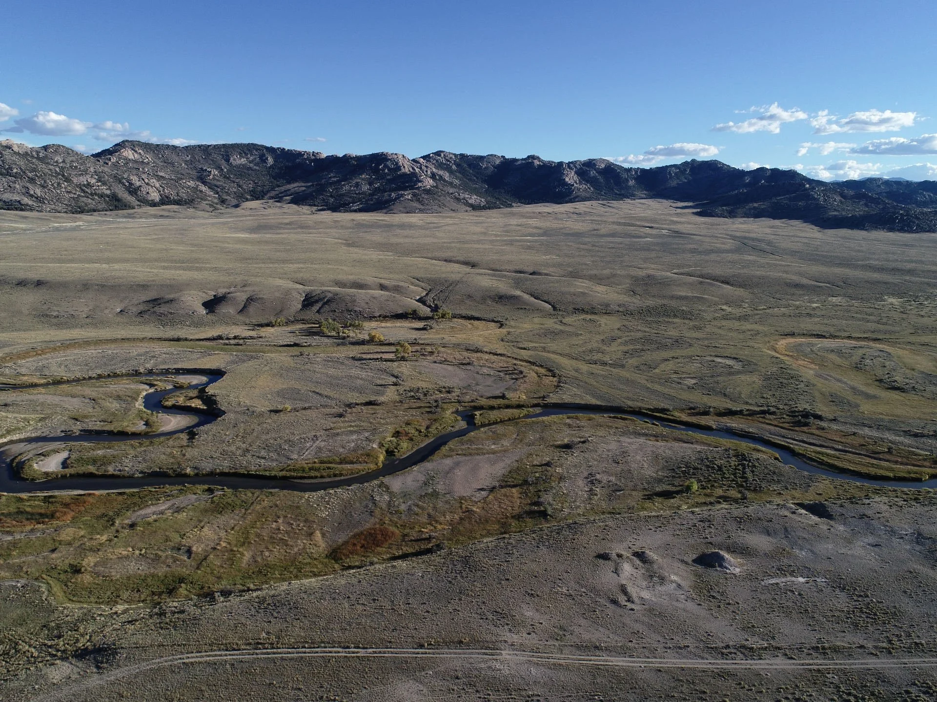
Independence Rock - Parcel 1
WSA - Parcel 2
Land Exchange Map
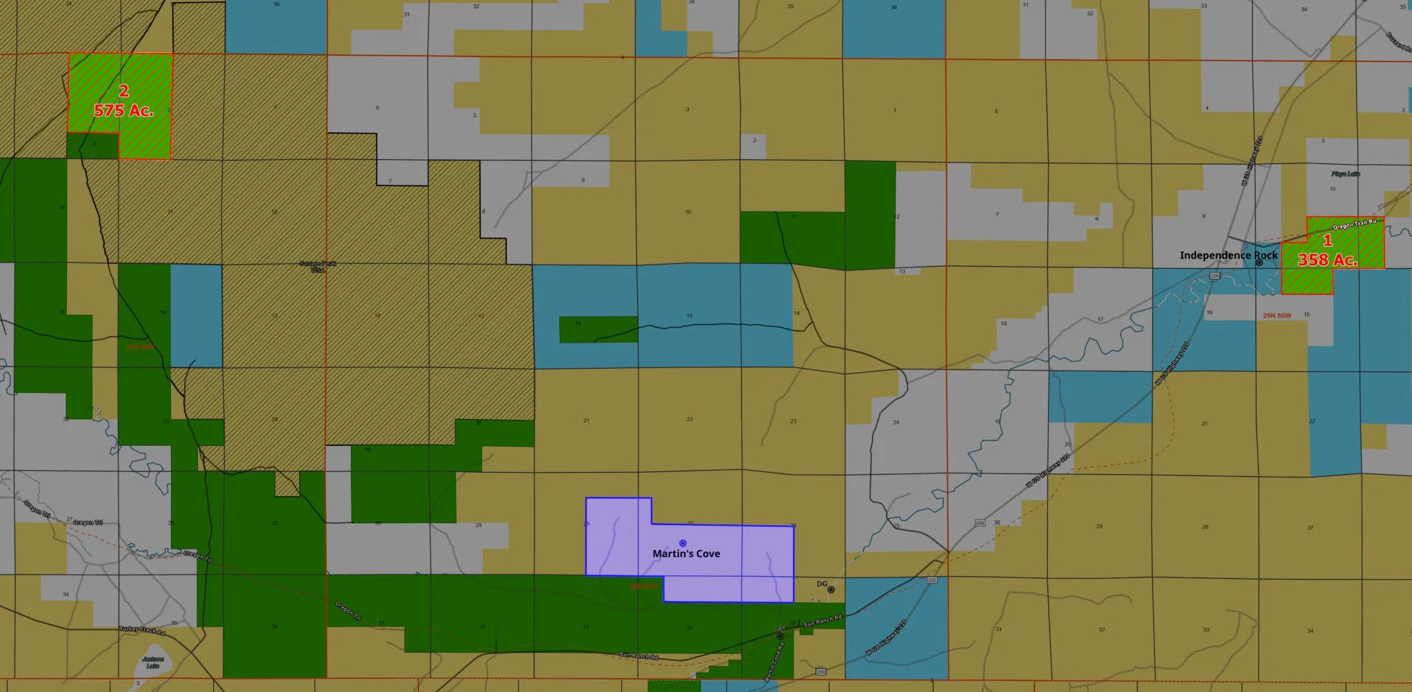
Since 2004, the Church has leased Martin’s Cove from the U.S. Bureau of Land Management (BLM). With the lease set to expire in 2029, discussions have centered on an equal-acreage exchange, identifying two high-value parcels owned by the Church for public acquisition.